
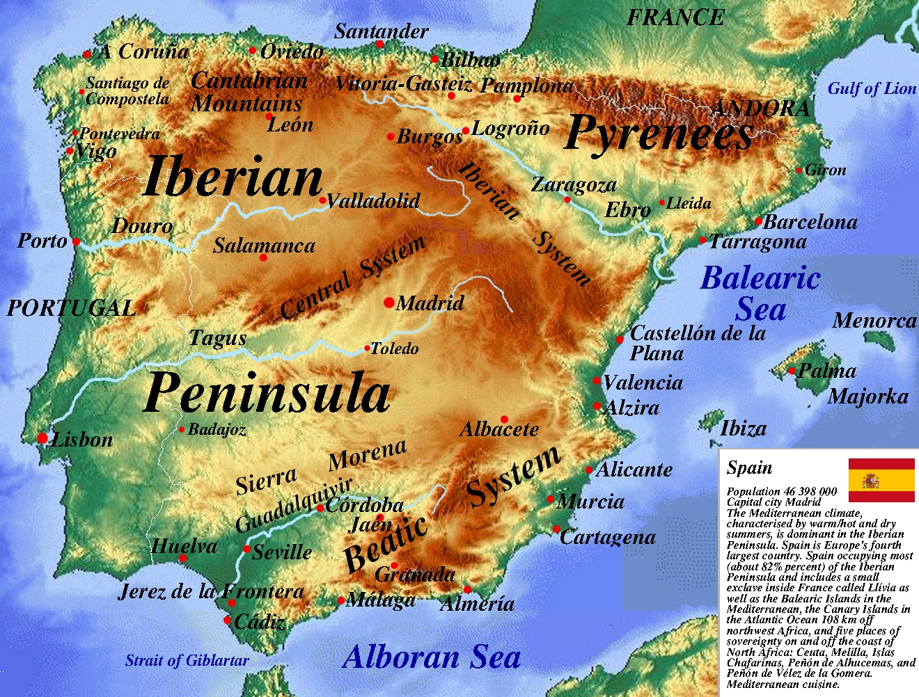
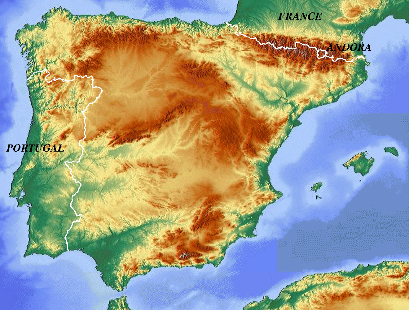
Physical Map of Spain
Spain is a southwest European country primarily occupying the Iberian Peninsula, along with the Balearic Islands in the Mediterranean Sea, the Canary Islands off the African coast, and smaller sovereign territories in Northern Africa. It has a long history and rich cultural heritage. Geographically, Spain is highly elevated, dominated by vast internal high plateaus and extensive mountain systems. With the exception of large inland hubs like Madrid, Seville, and Zaragoza, the country's largest urban agglomerations are distributed tightly along the Mediterranean and Atlantic coasts.
The most important pillar of Spain's diversified economy is its highly developed industrial sector, concentrated across several massive regional hubs. Spain stands as an internationally significant producer of passenger vehicles and commercial trucks. In the agricultural sector, livestock production plays a dominant role, utilizing extensive highland pasture networks across Castile, Asturias, and Extremadura to raise cattle, pigs, and poultry, complemented by world-renowned production of wine grapes, cereals, olives, and citrus fruits.
Spain's diverse ukształtowanie terenu creates distinct climate zones and biological landscapes. A Mediterranean climate, featuring warm to hot, dry summers, governs the majority of the peninsula. A semi-arid climate controls the southeast, while a wet oceanic climate covers the northern Atlantic quarter. Consequently, northern Spain is carpeted with lush deciduous forests, the south and center host classic Mediterranean vegetation like evergreen pine and cork oak enclaves, and the dry southeast features arid steppe grass plains.
Spain - Statistical Data (UN Data 2018)
Geography & Population
- Population: 46,398,000
- Surface Area: 505,944 km²
- Pop. Density: 93 / km²
- Urban Population: 80.3%
- Forested Area: 36.8% of land
Economy & GDP
- GDP (Gross Domestic Product): $1,237,255,000,000
- GDP Growth Rate (Annual): 3.7%
- GDP Per Capita: $26,695
- International Trade (Exports): $319,622,000,000
- International Trade (Imports): $350,922,000,000
Employment by Sector
- Services Sector: 76.6%
- Industry Sector: 19.3%
- Agriculture Sector: 4.0%