
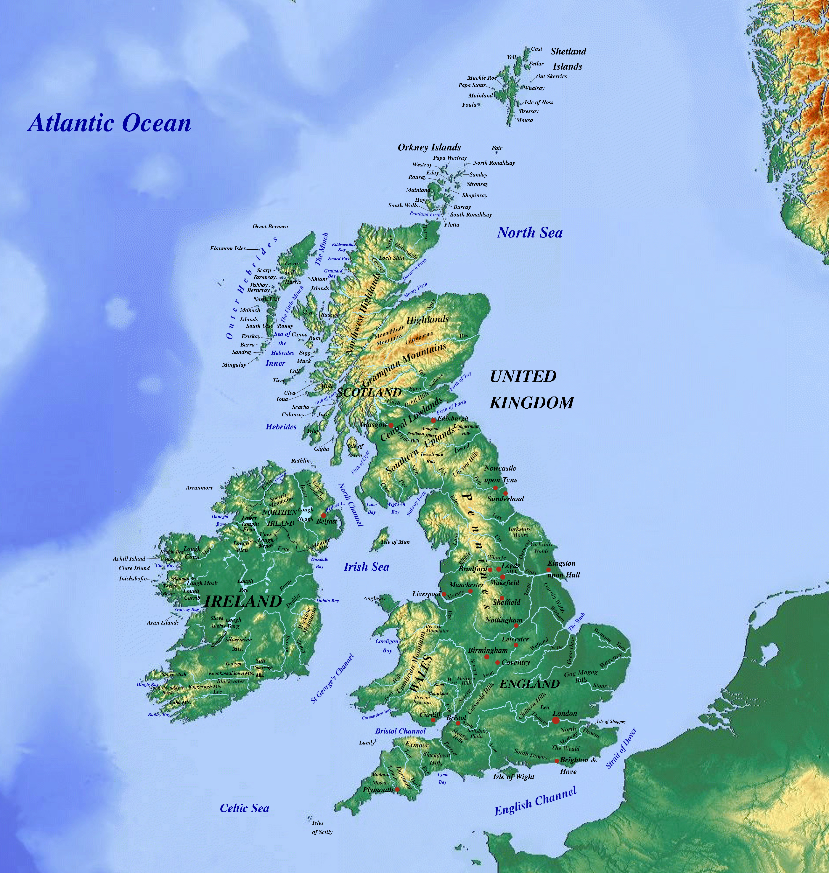
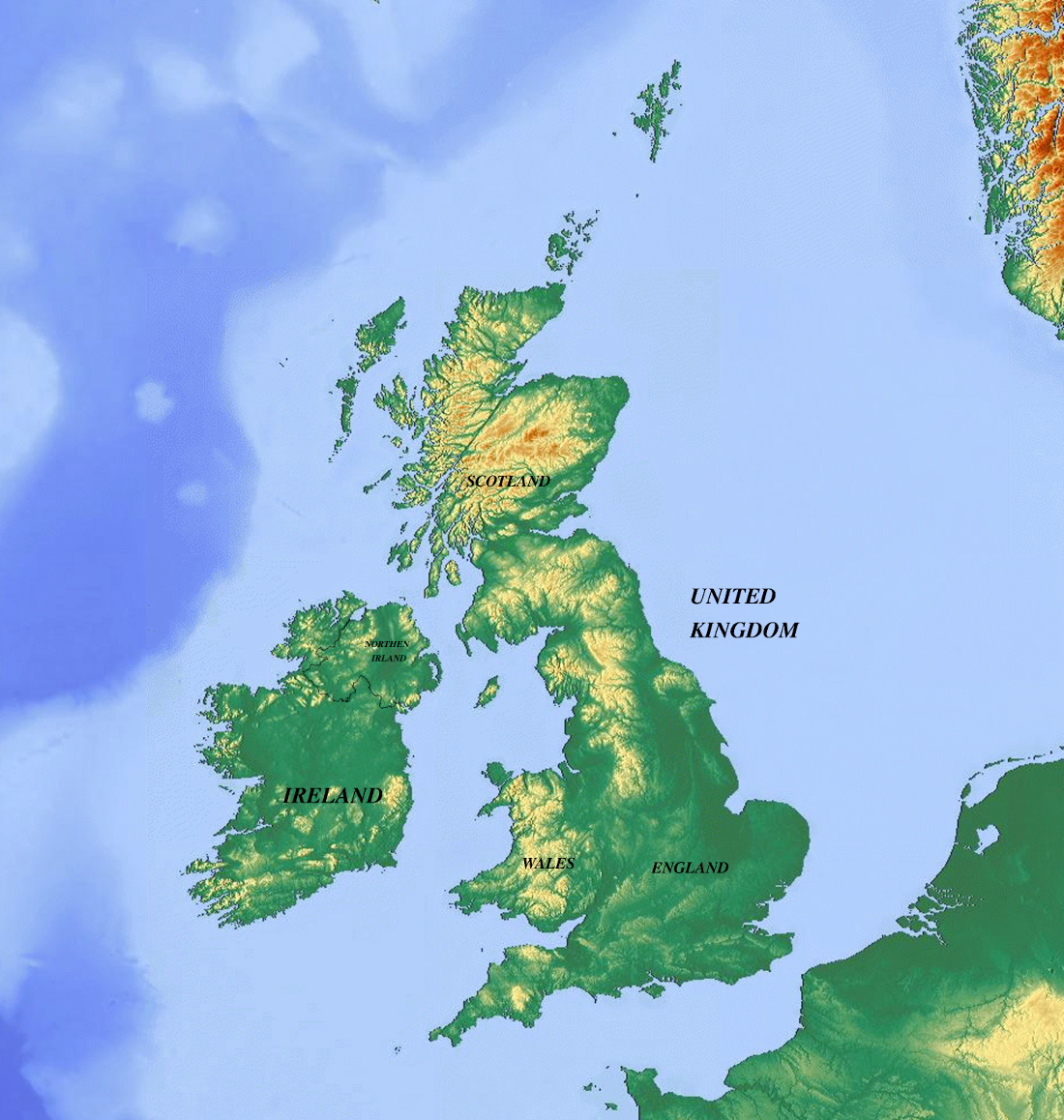
Physical & Topographic Map of the United Kingdom
The United Kingdom of Great Britain and Northern Ireland is an island nation located off the northwestern coast of mainland Europe. Its physical geography is deeply split into two main structural zones: the highland zone of the north and west (encompassing the rugged terrains of Scotland, Wales, and Northern England) and the lowland zone of the south and east (which features rolling plains, gentle hills, and fertile agricultural basins). The UK experiences a tempered maritime climate governed by the North Atlantic Current, bringing mild winters, cool summers, and consistent, year-round precipitation.
As a leading global financial and economic power, the United Kingdom relies heavily on its vast service sector, particularly banking, insurance, and business services. Though its industrial base has evolved, high-tech manufacturing, aerospace, pharmaceuticals, and automotive production remain pillars of the economy. Agriculture in the UK is intensely mechanized and efficient, focusing primarily on cattle, sheep, wheat, barley, and dairy output.
The United Kingdom is distinguished by its high human development index, advanced public infrastructure, and robust welfare institutions. Its citizens benefit from universal healthcare provided by the National Health Service (NHS), a prestigious and historically significant higher education ecosystem, and integrated maritime and rail public transit networks across Great Britain.
United Kingdom - Statistical Data (UN Data 2018)
Geography & Population
- Population: 66,460,000
- Surface Area: 242,500 km²
- Pop. Density: 274.1 / km²
- Urban Population: 83.4%
- Forested Area: 13.1% of land
Economy & GDP
- GDP (Gross Domestic Product): $2,828,640,000,000
- GDP Growth Rate (Annual): 1.3%
- GDP Per Capita: $42,560
- International Trade (Exports): $485,600,000,000
- International Trade (Imports): $672,500,000,000
Employment by Sector
- Services Sector: 80.9%
- Industry Sector: 18.0%
- Agriculture Sector: 1.1%